What we fly
Six years of commercial flight time, an FAA Part 107 certificate, full insurance and an Operations Over People waiver — applied to the work below.
Every service below has a See pricing button. Those are base rates, and may be adjusted for the specific needs of the job.
Real estate media & 360° tours
Full-service coverage built to make a listing move. Traditional high-resolution interior and exterior captures, dynamic FPV fly-throughs, and immersive 360° photo and video tours — so a buyer understands the property, the lot and the setting before they ever drive out.
Loading playlist videos…
Event coverage
Aerial and ground, video and high-resolution stills, covering your event from every angle.
Why this matters: our specialised FAA Operations Over People waiver lets us legally and safely fly close to the action. That produces intimate, cinematic shots that standard drone operators are not permitted to capture — no roped-off flight zone, no distant wide shot as the only option.
Loading playlist videos…
Running a larger event and worried about uninvited drones overhead? See UAS event surveillance and the Sentry V4.
Thermal drone operations
Herd analysis: population & health surveys
For landowners and biologists, the Matrice 4T works as a precision census tool. The high-resolution thermal camera picks up bedded deer in thick cover that a spotlight count or a ground survey would walk straight past.
The result is roughly 80% accuracy on population surveys — a real number to manage against, rather than an estimate.
- 640×512 thermal sensor
- Counts through canopy and heavy brush
- Flown at altitudes that do not disturb the herd
- Repeatable season over season for trend data
Mapping & orthophotos
When you need to measure something rather than just look at it.
Orthomosaics
A single stitched, geometrically corrected top-down image of a site or parcel — accurate enough to measure distance and area off.
Land & tract documentation
Acreage, boundaries, timber tracts and access roads captured from above, for owners, agents and managers who need a current picture of the property.
Construction progress
Repeat site visits flown on the same path and the same altitude every time, so the sequence lines up frame to frame. Owners see the build move, lenders get dated evidence of progress against a draw schedule, and crews get an overhead view of staging, access and what is actually where.
Loading playlist videos…
Repeatable flight lines
The same route, altitude and camera angle on every visit, so two months apart still line up when you put them side by side.
Draw-schedule documentation
Dated aerial evidence of what was complete and when — useful when a lender, an inspector or an owner asks.
Site logistics
An overhead read on staging areas, access roads, laydown yards and where the equipment actually ended up.
Roof & asset inspection
Close-range visual and thermal inspection of roofs, towers, silos, solar and equipment — documented in high resolution without anyone setting foot on a ladder.
Thermal passes surface what a visual pass cannot: moisture intrusion under a membrane, a failing connection in a panel array, heat loss along a run.
- Visual and thermal in a single flight
- Full-resolution stills for claims and reports
- No scaffolding, no lift rental, no fall risk
Search & rescue support
Thermal overwatch for search parties and incident commanders — an aerial picture of the search area, and heat signatures that stand out against cool ground at night.
Time-critical situation? Call (205) 210-9477 directly rather than using the booking form.
Deer recovery
In deer recovery the goal is to locate a downed or wounded animal that a hunter cannot find on the ground. The Matrice 4T excels here with a search and verify workflow.
Thermal detection. The 640×512 thermal sensor picks the heat signature of a deer out against cooler ground. Because the 4T is significantly quieter than previous airframes, it can work at lower altitude without spooking an animal that may still be alive.
Spotlight integration. A high-lumen spotlight kit means that once a heat signature is found, the pilot can drop light straight onto the location and give the recovery team on the ground something to walk to.
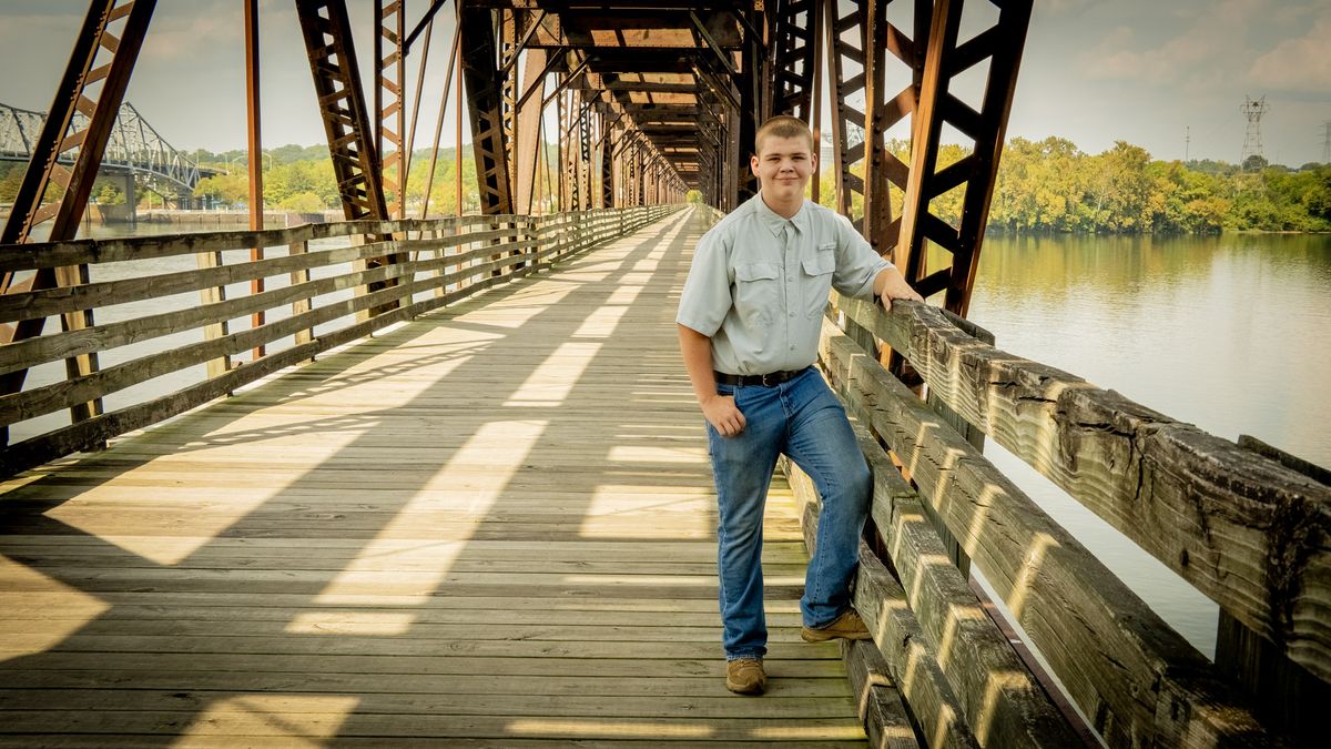
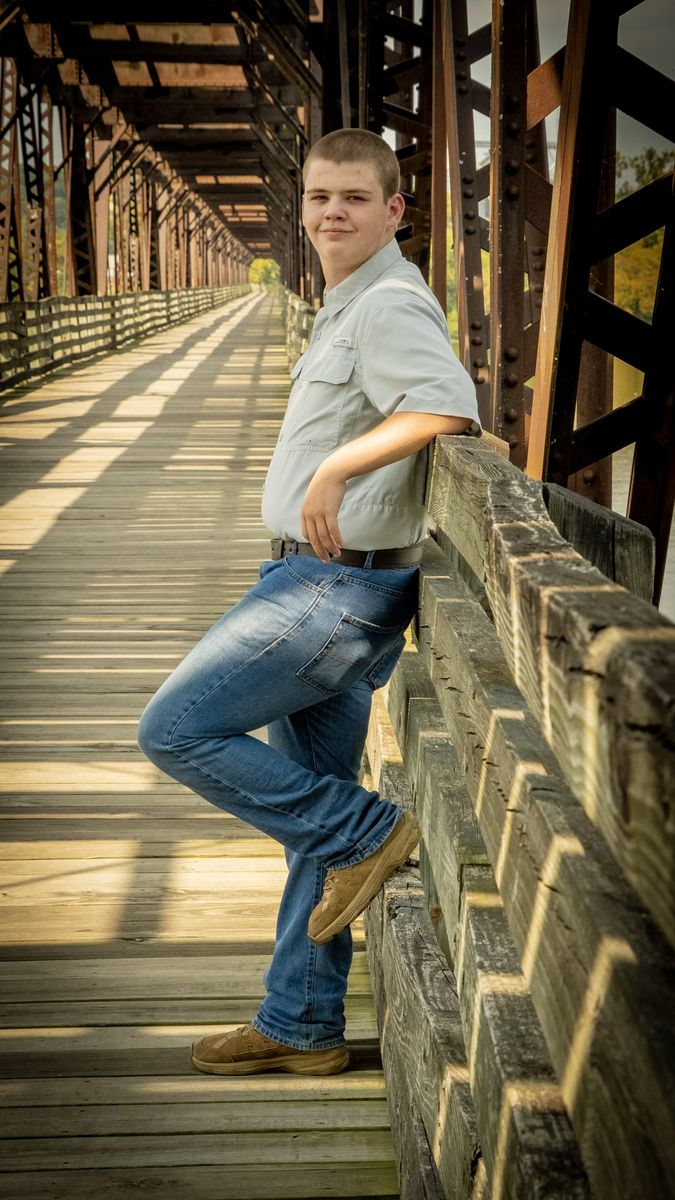
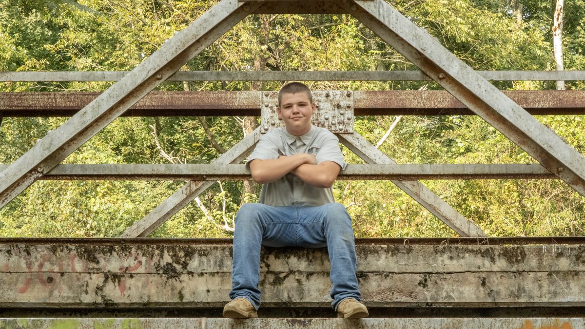
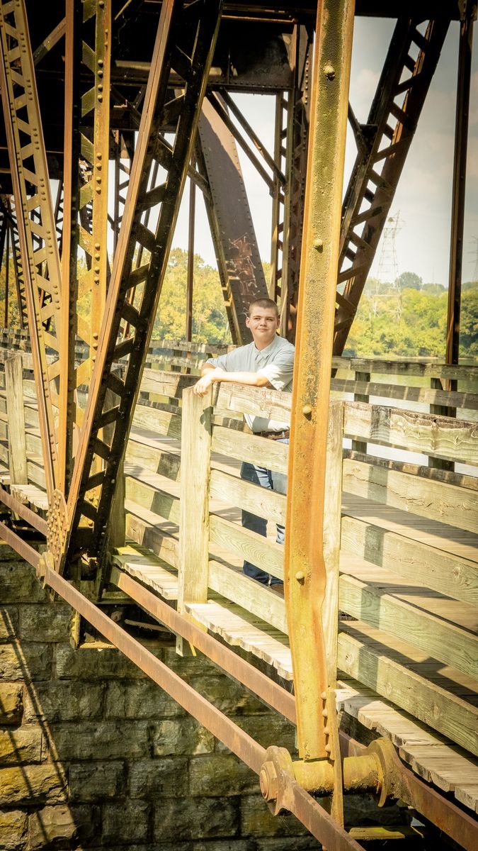
Environmental portraits
Not a studio backdrop. People photographed where they actually live and work, so the picture says something about them before anyone reads the caption.
What a drone adds is reach. The camera goes where nobody can stand — out over the middle of a bridge, level with a roofline, or directly overhead — so the setting works as part of the portrait instead of as wallpaper behind it.
Not sure which one you need?
Describe the problem rather than the service. We will tell you what the flight should look like — and say so if a drone is the wrong tool for the job.